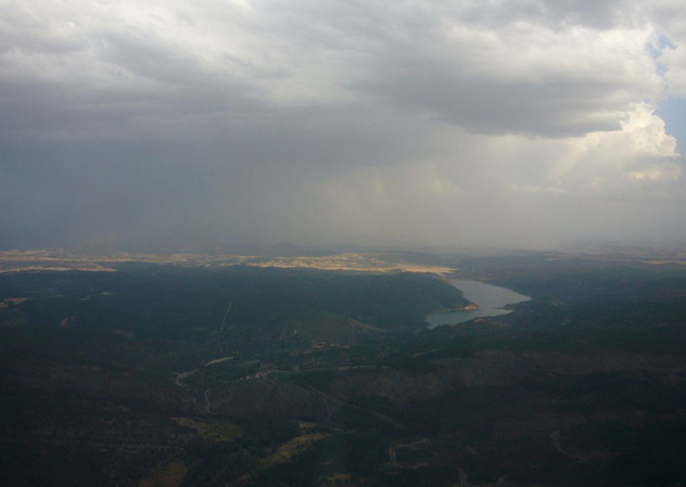
Heading off on a Sunday afternoon
SUNDAY
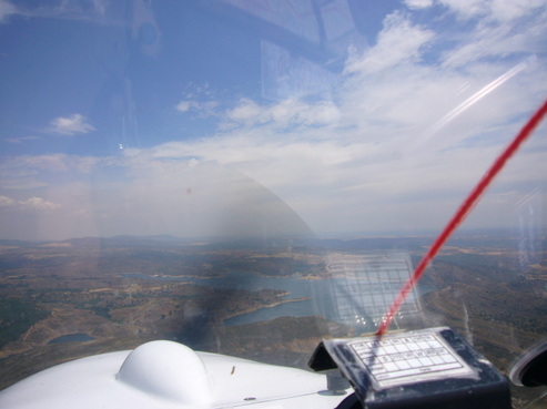
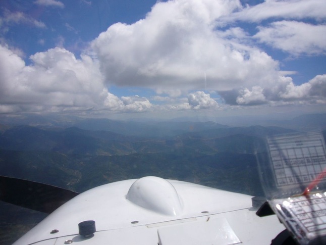
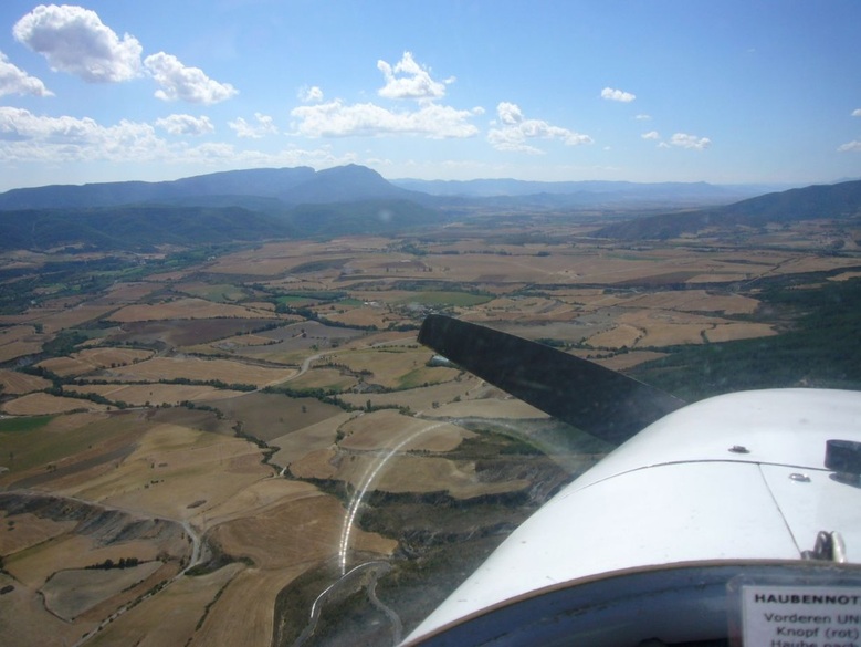
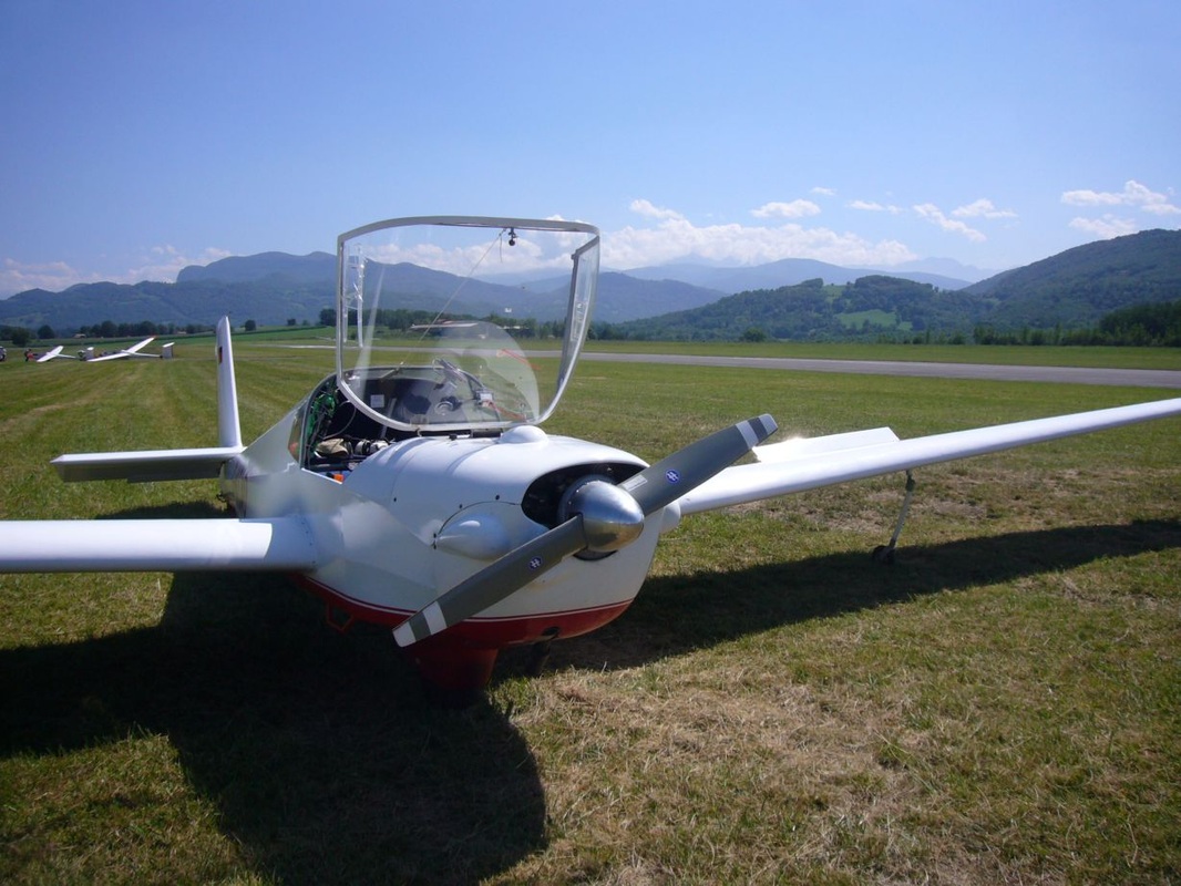
For a while the germ of an idea had been forming to go play in the Pyrenees, the mountain range that forms the border between Spain and France, about 400km NE of my home airfield of Robledillo near Madrid, and to gain some experience in real mountain thermal flying. In August 2011 during my summer leave I finally snuck off for a few days. In the back of my head I had the plan of maybe even - weather permitting - crossing over to France to visit a gliding friend that lives just on the other side. I packed a sleeping bag, the baby laptop for weather reports, a couple of books and clothes for a week and set off into a greying sky one Sunday afternoon, with various alternates prepared in case the weather turned bad quicker than forecast. My goal was the aerodrome of Santa Cilia de Jaca, a well-known gliding mecca in the foothills of the Pyrenees. The sky was going gradually greyer the more I progressed, but there was also a decent tailwind pushing my ground speed up to a good 160km/h (tailwinds are always nice, and of even greater value in a slow-poke Motorfalke).
For a while the germ of an idea had been forming to go play in the Pyrenees, the mountain range that forms the border between Spain and France, about 400km NE of my home airfield of Robledillo near Madrid, and to gain some experience in real mountain thermal flying. In August 2011 during my summer leave I finally snuck off for a few days. In the back of my head I had the plan of maybe even - weather permitting - crossing over to France to visit a gliding friend that lives just on the other side. I packed a sleeping bag, the baby laptop for weather reports, a couple of books and clothes for a week and set off into a greying sky one Sunday afternoon, with various alternates prepared in case the weather turned bad quicker than forecast. My goal was the aerodrome of Santa Cilia de Jaca, a well-known gliding mecca in the foothills of the Pyrenees. The sky was going gradually greyer the more I progressed, but there was also a decent tailwind pushing my ground speed up to a good 160km/h (tailwinds are always nice, and of even greater value in a slow-poke Motorfalke).
Into a greying sky
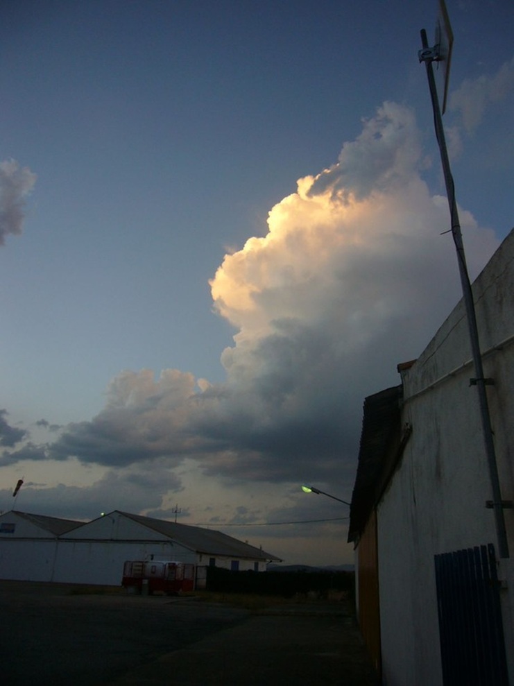
Two hours and a bit later I touched down at Santa Cilia just as the first veils of drizzle were beginning to fall. Minutes later the glider was tucked into an immaculate hangar, while I was tucking into some regional wine in the airfield bar.
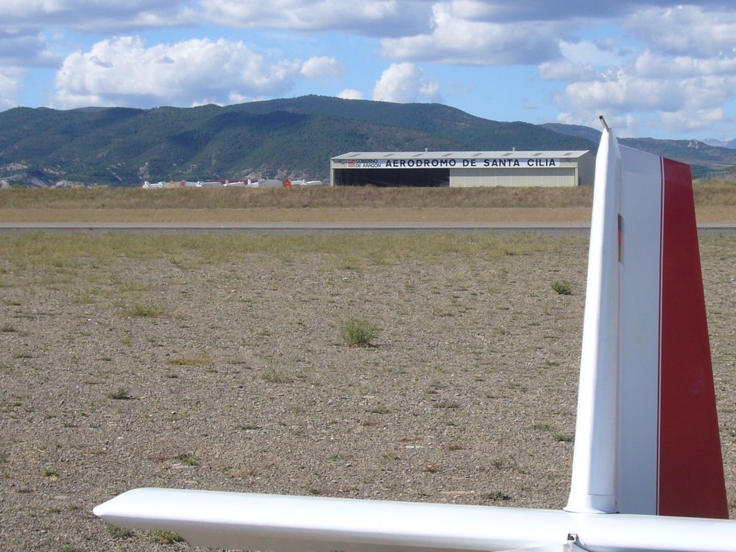
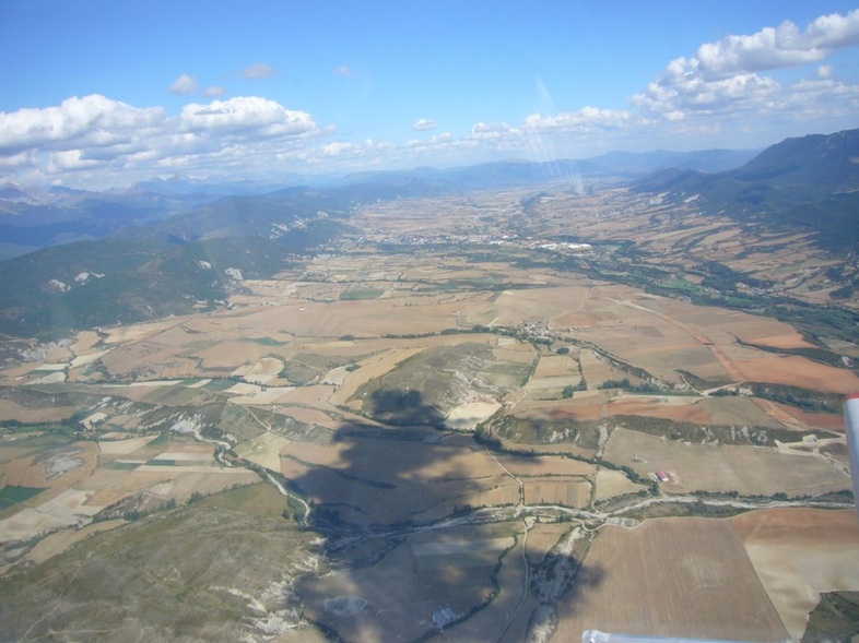
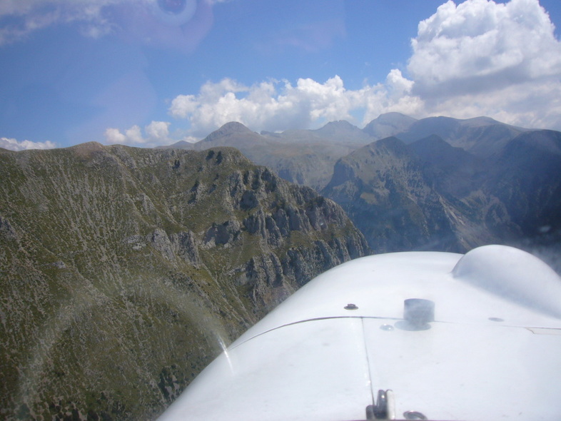
Santa Cilia de Jaca is one of Spain’s best gliding sites, and must be one of the finest aerial play-pens in the world. Situated in a valley among the foothills of the Pyrenees, it gives you instant access to the mountains which grow progressively bigger the further north you go. The range is nearly 500km long, running from the Bay of Biscay in the West, all the way to the Mediterranean just north of Barcelona in the East. There are dozens of peaks over 3000m. Posets and Aneto, the two highest ones, are around 3400m high.
Santa Cilia de Jaca is one of Spain’s best gliding sites, and must be one of the finest aerial play-pens in the world. Situated in a valley among the foothills of the Pyrenees, it gives you instant access to the mountains which grow progressively bigger the further north you go. The range is nearly 500km long, running from the Bay of Biscay in the West, all the way to the Mediterranean just north of Barcelona in the East. There are dozens of peaks over 3000m. Posets and Aneto, the two highest ones, are around 3400m high.
|
|
They run a tight ship at Santa Cilia. There is a gliding school, they do scenic flips in two Robins that double as tow planes, and there is a skydiving operation. The airfield belongs to the local government and is neat as a pin, with (in order of importance) a sparkling pool, a restaurant, 2 parallel tar runways and several hangars.
The staff are in the employment of the Aragon provincial authorities, so it all has a fairly professional air (also reflected in the fees they charge though). In winter there is often wave flying, and in summer the thermals are epic. There is a weather briefing in the ops room every morning at 10, so visiting pilots get the chance to familiarize themselves with the conditions and potential dangers expected.
The staff are in the employment of the Aragon provincial authorities, so it all has a fairly professional air (also reflected in the fees they charge though). In winter there is often wave flying, and in summer the thermals are epic. There is a weather briefing in the ops room every morning at 10, so visiting pilots get the chance to familiarize themselves with the conditions and potential dangers expected.
Playpark for glider pilots
MONDAY
The next morning looks fabulous. Thermals are forecast to work from about 12 onwards, with possible overdevelopment in the high mountains later on. I am the first to take off (having a motor makes it easy to be bold) and get my first lift just 3km from the runway. The day is on!
The next morning looks fabulous. Thermals are forecast to work from about 12 onwards, with possible overdevelopment in the high mountains later on. I am the first to take off (having a motor makes it easy to be bold) and get my first lift just 3km from the runway. The day is on!
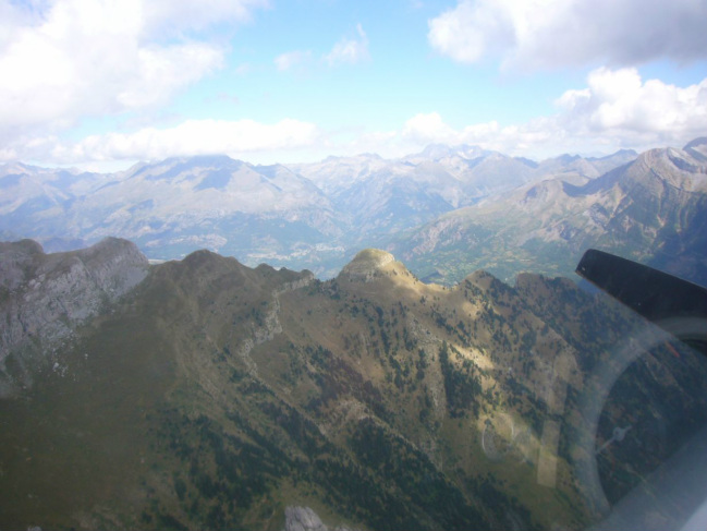
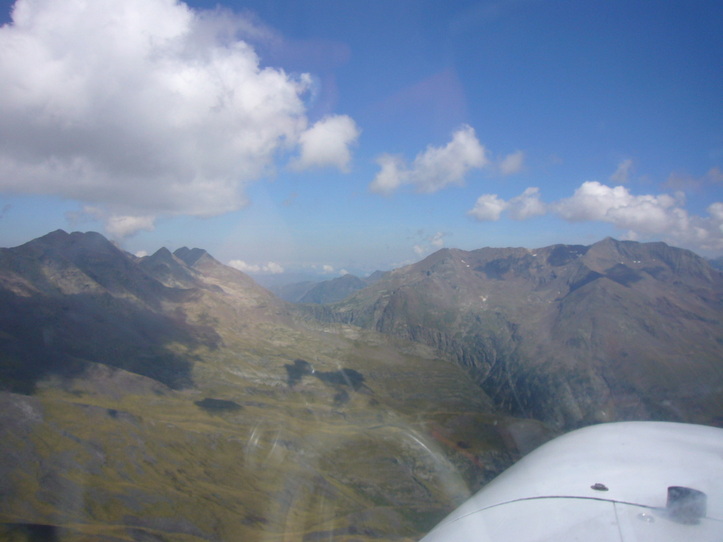
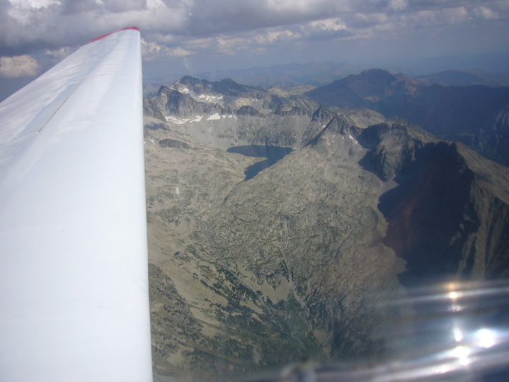
The next 4 hours I play in a land of peaks, valleys, cloud streets and spectacular rock formations. The threatened overdevelopment never comes, so everyone does extended cross countries, although I never once see another soul … A few times I get low and fire up the trusty old Limbach just in case. Invariably, once it’s idling along smoothly the next thermal presents itself anyway, but it’s better to be sure.
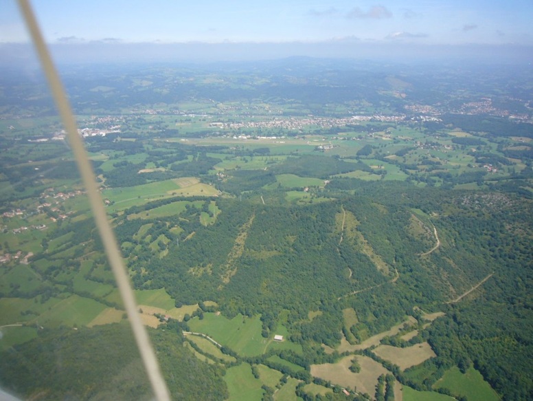
Looking down over France
As I get braver, I head further north to the highest peaks and the French border. The air masses are often quite different on the two sides of the mountains, and today is no exception – right at the edge, I look out over a sea of cloud. Everything is completely overcast with not a single gap in sight. Not the day for my aerial assault on France, then. I turn back to Santa Cilia, catching a few more afternoon thermals in the broad valley close to the airfield.
Return to Santa Cilia
Last thermal of the day
TUESDAY
The morning briefing looks promising. Even better conditions than the day before – good climbs and light winds – and best of all, it looks like things are going to remain like this for at least one more day. I take my decision: I’ll attempt the crossing over to France today, hopefully returning the next day. My goal is Saint Girons, in a straight line only about 160km ENE of Santa Cilia.
The morning briefing looks promising. Even better conditions than the day before – good climbs and light winds – and best of all, it looks like things are going to remain like this for at least one more day. I take my decision: I’ll attempt the crossing over to France today, hopefully returning the next day. My goal is Saint Girons, in a straight line only about 160km ENE of Santa Cilia.
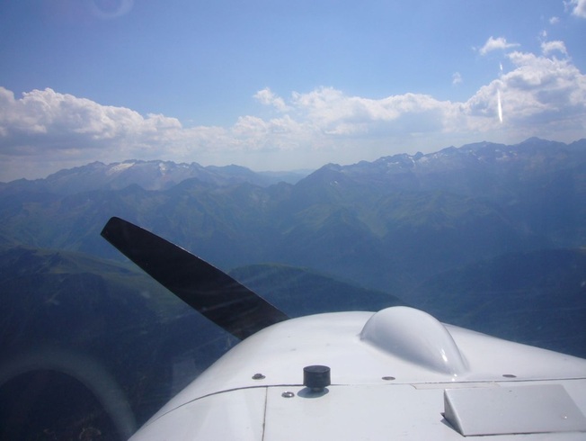
Heading for France
I need to hand in a flight plan for the intended international border crossing. There is some confusion at the Spanish ATC services because of my proposed average flying speed of 50km/h. Stopping at intervals to thermal is not an option the ICAO founding fathers in their wisdom considered when flight plans were originally designed. It requires a phone call to ATC in Huesca and some nifty explaining to get the green light. I finally take off at 12h30 and I would be lying if I said I didn’t have a bit of a knot in my stomach. Having seen the inhospitable high mountains the day before, I know I am going to be heading well outside my comfort zone.
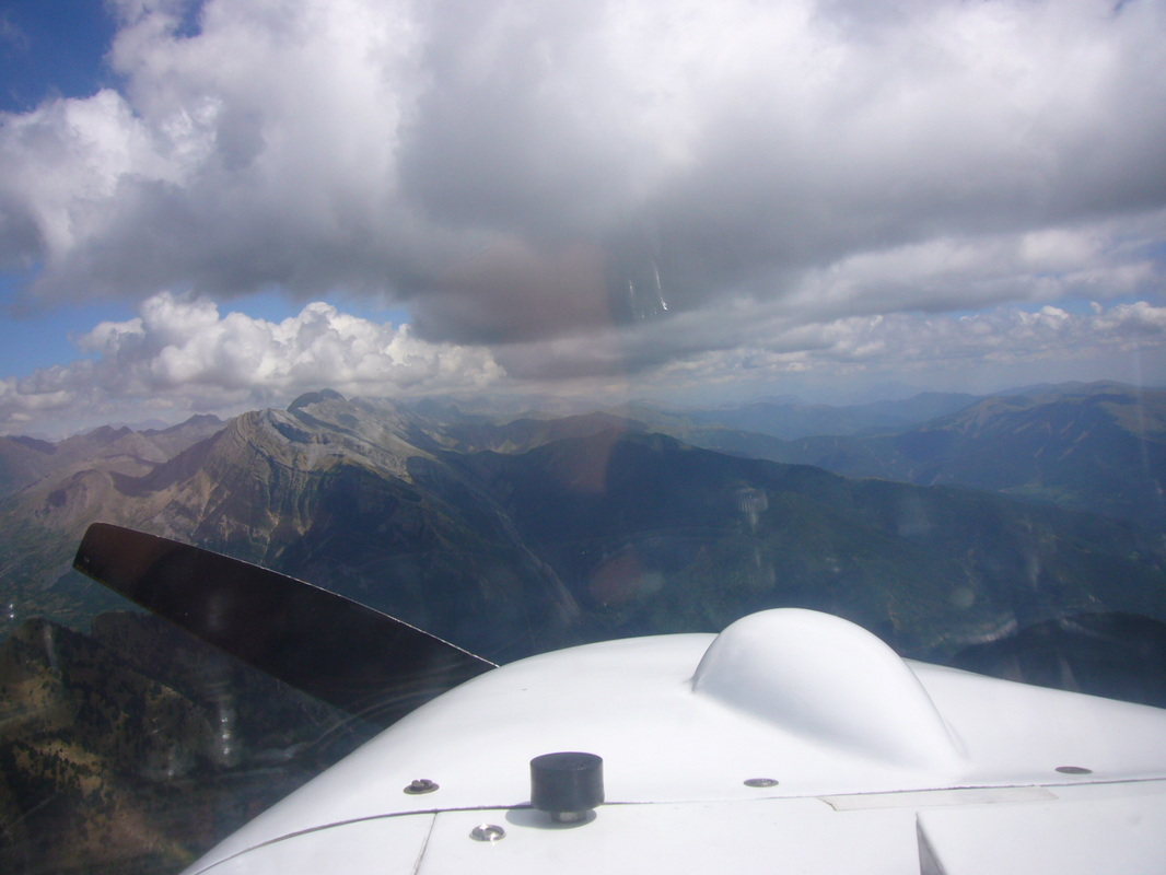
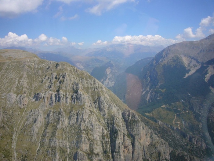
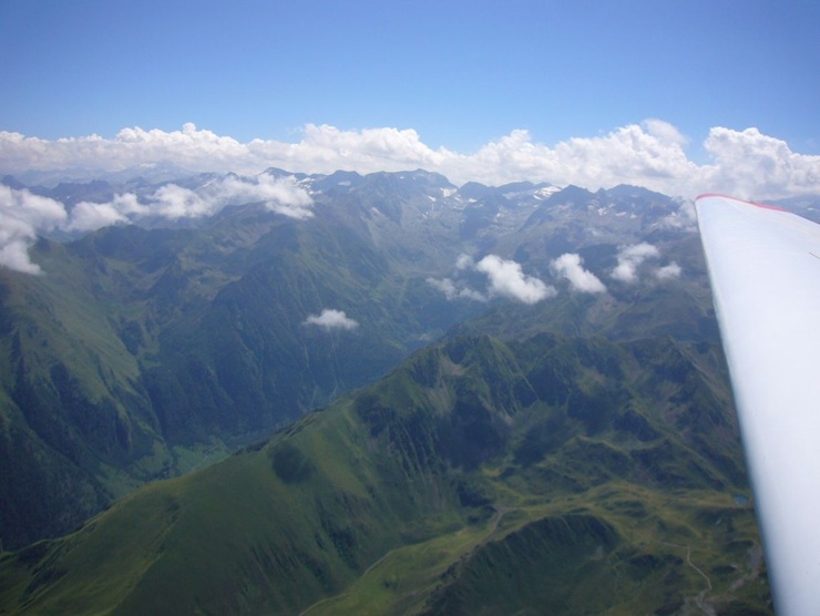
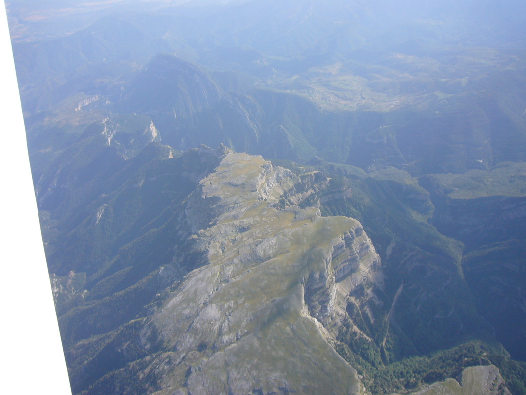
It was still too early for reliable climbs, so I motored East for a good while, stopping to climb whenever feasible. The most likely place to cross, considering my destination and the various airspaces and no-fly nature reserves, seemed to be next to the two highest peaks, Aneto and Posets, so I needed all the height I could get.
Slowly I work my way deeper into the mountains, among peaks reaching ever higher. My motoring climb rate progressively worsens as the thin air begins to bite and my (already optimistic) 60hp output is reduced substantially.
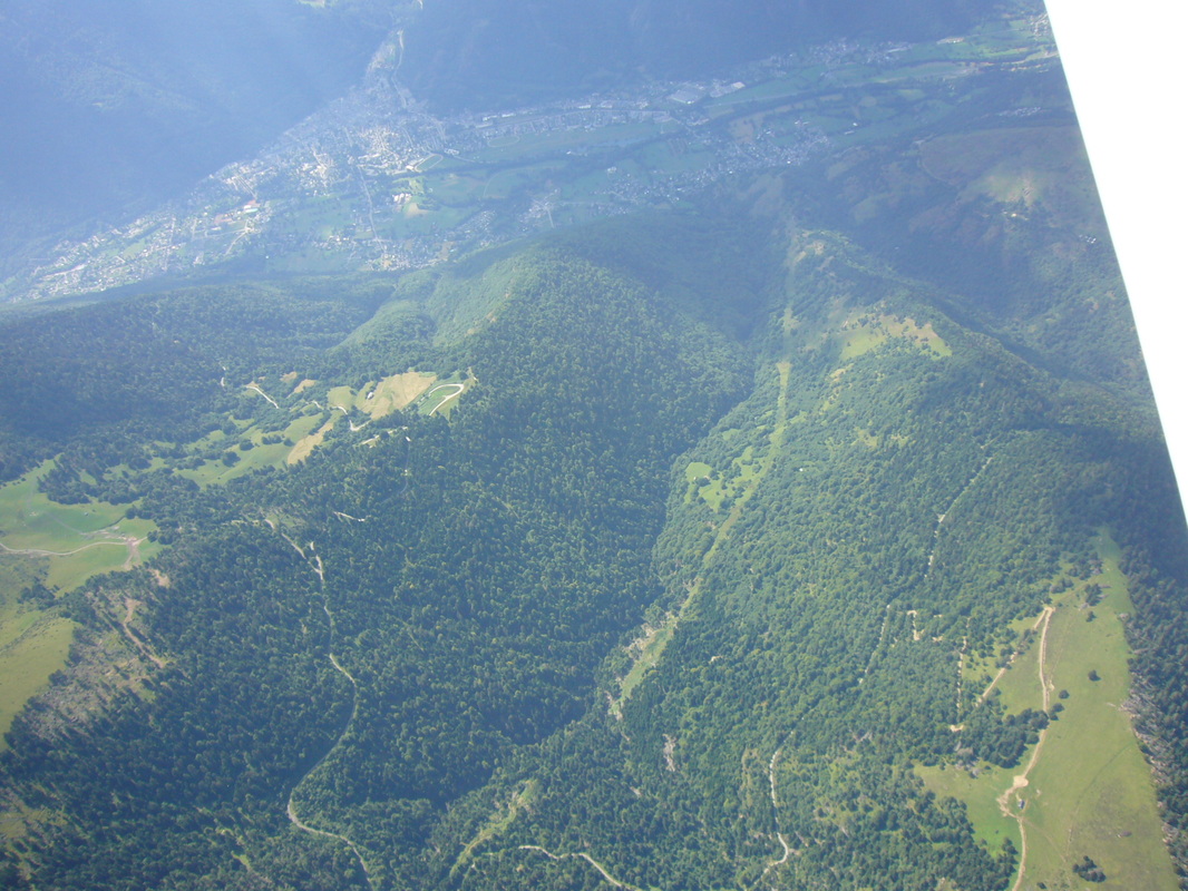
Approaching the gap that leads down into France
Also, it’s not really as thermic as I had hoped, and often there is only the tiniest useable gap of 100 or 200 metres between the peaks and the clouds above them. Keeping the motor running, I turn and turn in the small thermals, sweating to gain the last couple of hundred metres of altitude before diving down into France. Finally I feel I am getting close and high enough, and I start calling Toulouse Info to announce my imminent entry into French airspace. The Limbach’s remaining altitude-starved horses roaring in protest, I eventually eke out enough of a safety margin to cross over the last col.
Suddenly it’s like arriving in another world. All of France lies stretched out below me, little puffy cumuli marking the thermal tops several hundred metres below. Deep green valleys and peaks gradually drop away to the north, in stark contrast to the rocky, dry slopes on the Spanish side. I cut the motor and enjoy a long, quiet glide towards Saint Girons, listening to the French chatter on Toulouse Info.
Saint Girons. The airfield is clearly visible right below the main part of the town.
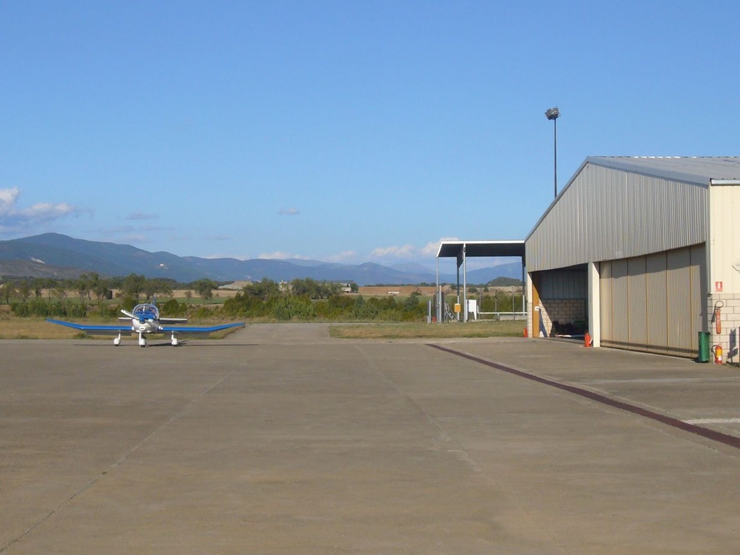
Three hours after departure I touch down in Saint Girons, a pretty town with an immaculately kept airfield, situated among rolling green hills next to the meandering river Salat. I call up my flying friend Alan and tie the glider down for the night while I wait for him to come and pick me up.
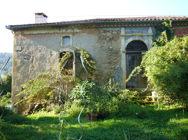
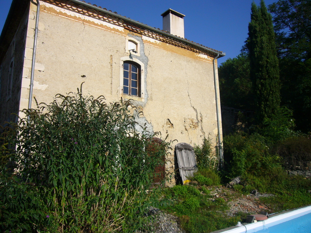
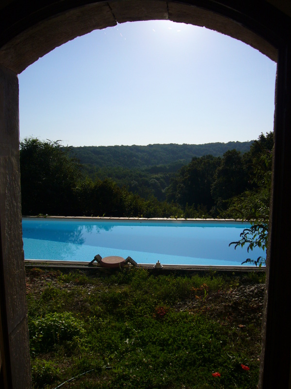
A fine bistro dinner is followed by a mellow evening and night spent at Alan’s stunningly situated French villa. There is no question that the place is charming beyond belief ... but I also know it was built in the 18th century and would keep any renovator busy for a lifetime.
|
|
WEDNESDAY
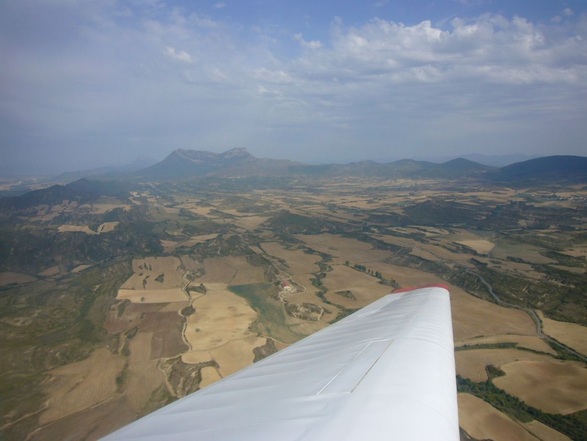
Another still, blue, gorgeous day. My return flight to Spain is looking promising. It is not unusual for the French side of the Pyrenees to clag up for days on end, so I am not going pass up the opportunity. I fill up at the airfield with possibly the most expensive Avgas in Western Europe, and take off at around 13h30 when the sky starts looking good over the mountains.
Another still, blue, gorgeous day. My return flight to Spain is looking promising. It is not unusual for the French side of the Pyrenees to clag up for days on end, so I am not going pass up the opportunity. I fill up at the airfield with possibly the most expensive Avgas in Western Europe, and take off at around 13h30 when the sky starts looking good over the mountains.
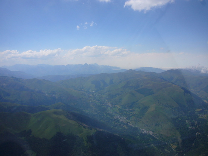
That way for Spain
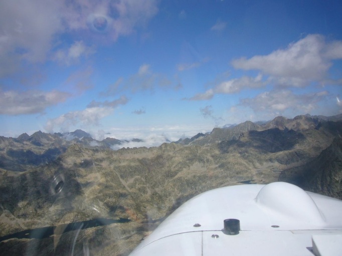
This time I am determined to cross without using the motor. I steadily work my way further south, deeper into the mountains. The conditions get better and better. The sky is filled with eagles, gliders, and paragliders. Eventually I am situated opposite Aneto and Posets, the highest peaks. If I can cross between them I’ll have an easy downhill run back into Spain.
But somehow the conditions are not quite as benign as they look. A strong southerly headwind is pumping over the mountains and spilling through the gap between Aneto and Posets. The lovely, inviting cumuli that come drifting over to the north are part of the Spanish air mass and just not reachable from my side. Try as I might, I just can’t get high enough to make the glide across the monster sink north of the pass and arrive with enough altitude to cross over safely. At the same time, a bank of cloud is moving in low down behind me, steadily advancing from the West and threatening to cover all the valleys below, thereby possibly cutting off my return route should I be unable to cross over to Spain. Nothing for it: Limbach to the rescue. I turn around, fly a few km away from the horrible sink and thermal and motor my way upwards, albeit painfully slowly.
Crossing between the peaks. That’s Pico de Aneto on the left.
Finally, almost level with the two peaks and well higher than the pass, I make another run for it, attempting to blast through the sink and 30km/h headwind at full throttle. After losing a big chunk of my precious altitude, I finally make it through the sink and into the gap. Over the pass and beyond on the windward side, everything is going up again and I am soon touching 12000ft, freezing but ecstatic, looking out over rocks and peaks and icy mountain lakes as far as the eye can see.

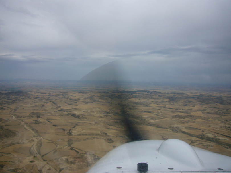
From there it’s a case of gradually losing height on the 100km run back to Santa Cilia, finishing off the day with some gentle afternoon thermals that carry me all the way back to the airfield for an engine-off landing – tired, hungry, happy, and very satisfied. Tomorrow I will head back home.
THURSDAY
The sky is grey. Rain falls in spurts. Trees are shivering in the wind. The forecast is dismal, although there is hope things will clear up later on. I spend the day in the aerodrome’s wifi-equipped restaurant watching shockingly bad daytime TV and checking the weather every so often.
The sky is grey. Rain falls in spurts. Trees are shivering in the wind. The forecast is dismal, although there is hope things will clear up later on. I spend the day in the aerodrome’s wifi-equipped restaurant watching shockingly bad daytime TV and checking the weather every so often.
Heading home at 6pm
Finally, after lengthy consultation of every weather site known to man and careful observation of the sky, I take off just before 6pm and make a run for home with a good 3 and a half hours of daylight remaining. I know there are a number of alternates I can use if the weather turns bad again, but most of the front has passed. One big storm remains, but it is way off to the south. Again I am blessed with a decent tailwind and it’s an easy run back towards Madrid.
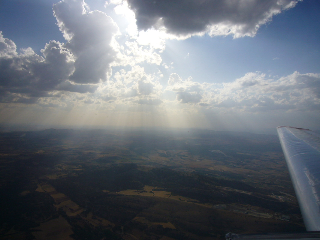
Just when I think I am home and dry, a late afternoon grey cloud starts dumping less than 10km from my home field. Are we going to do an out-landing after all?
Sunset over my home airfield, Robledillo
But skirting the storm I finally get in safely, a good hour before dark. I push the Falke back into the hangar and tally up: 5 days, 6 flights, and 17 hours airtime. There and back again. It feels good!
